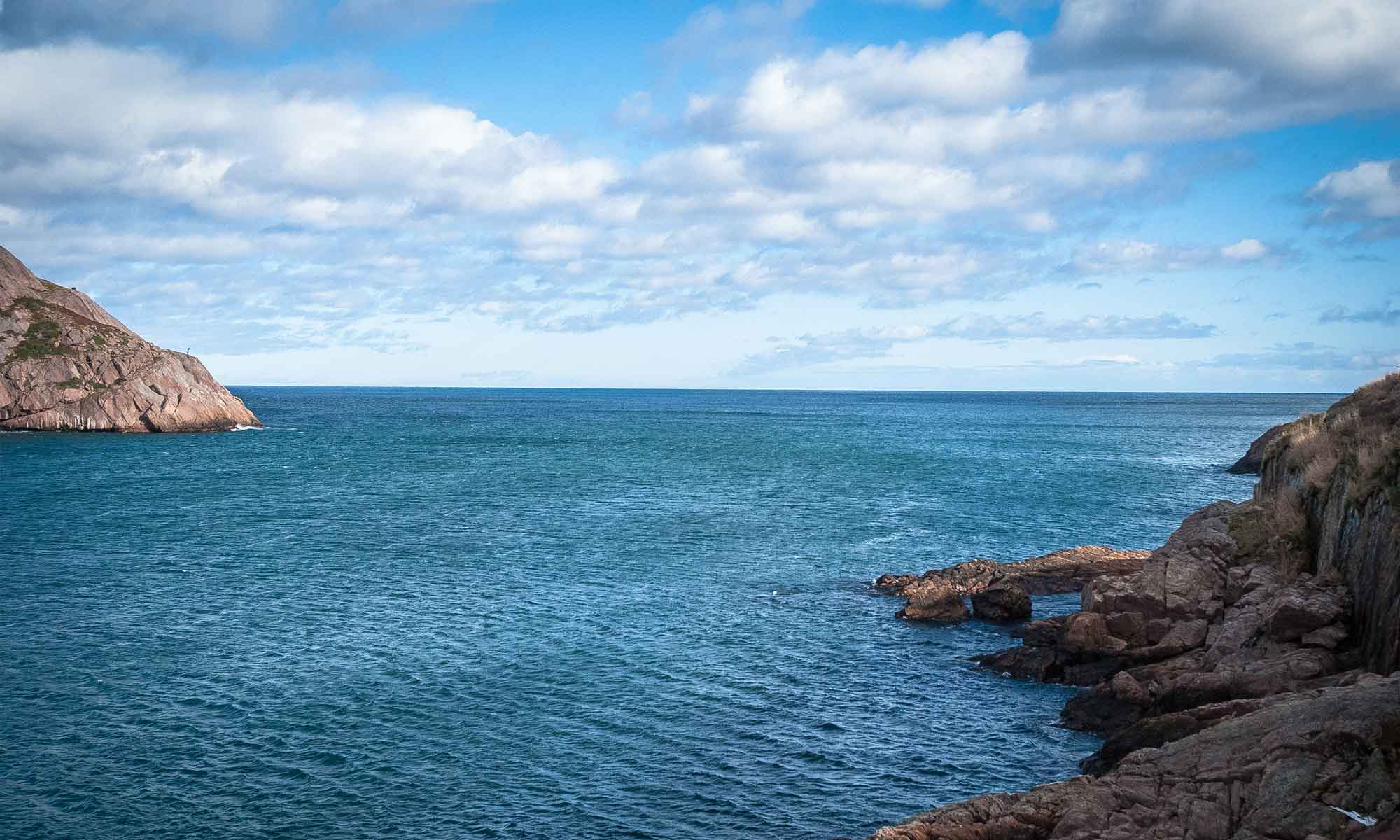
A Remarkable Coastline
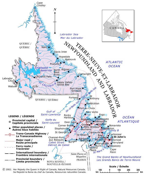
Newfoundland is an island with 9,871 kilometres (6,169 miles) of coastline. The vast mainland territory of Labrador has 8,172 km (5,108 mi.) fronting the Atlantic’s Labrador Sea. Numerous islands add over 10,913 km (6,821 mi.) more, giving the province an astonishing grand total coastline of 28,956 km (18,098mi.). Inland, both regions are scattered with thousands of freshwater lakes, ponds and rivers. Some of the features and principal communities of the province are shown on the map below, courtesy of the National Atlas of Canada.
* Natural Resources Canada figures